Loading page…
Contour Survey
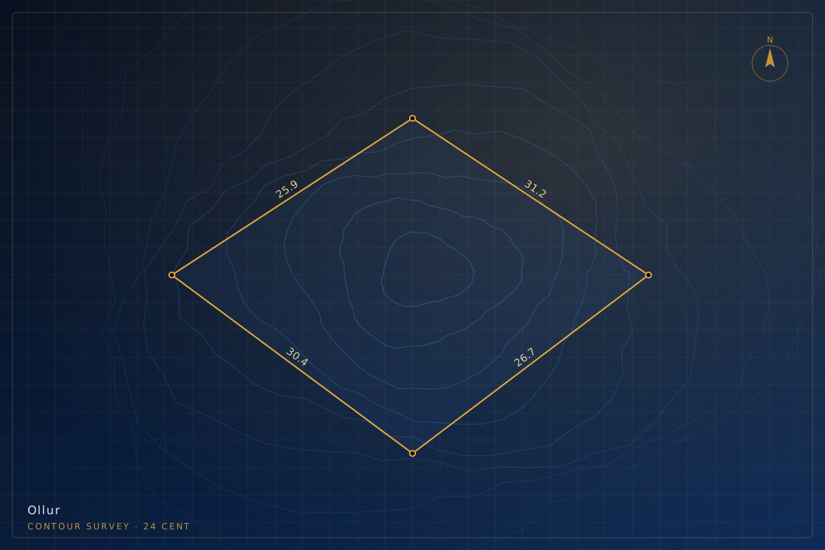
Contour Survey — Sloping Site, Ollur
Dense level capture across a sloping parcel to produce a contour map for a stepped residential design and to estimate earthwork before budgeting.
Illustrative project. This entry represents the type of work BenchMark carries out. It is not a documented client job, and no client is identified.
Scope of work
- Spot levels captured across the full slope
- Contours generated at 0.5 m interval
- High and low point identification
- Cut-and-fill reference data for estimation
Project detail
- Category
- Contour Survey
- Location
- Ollur, Thrissur
- Site area
- 24 cent
- Year
- 2025
Instruments
Total StationAuto LevelCAD surface modelling
Similar site?
Tell us the location and area and we will quote the same work for your plot.
Request a surveyMore work
Start here
Tell us about the land.
We’ll tell you the number.
Send us the location and roughly how much land is involved. You will get a clear scope and a fixed price — before any work starts.
- Office
- Opp. Village Office, St. Antony's Building, Mupliyam, Thrissur – 680312, Kerala
- Hours
- Monday – Saturday · 9:00 AM – 6:30 PMSunday · Site visits by appointment