Loading page…
ThrissurDigital Land Surveyors
Land, measured
to the centimetre.
BenchMark is a digital land surveying practice in Mupliyam, Thrissur. We measure boundaries, map terrain and set out buildings — and hand you a drawing precise enough to build from, and clear enough to trust.
- Coordinate-accurate measurement
- CAD drawings in DWG + PDF
- Area confirmed in cent
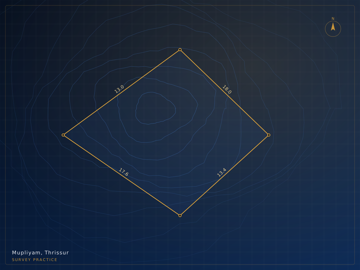
Topographic planCherppu · 20-10-2025
All dimensions in metreProject BM
The practice
A benchmark is a fixed point of known height — the reference everything else is measured from.
We took the name seriously. From our office at Mupliyam we survey land across Thrissur and Kerala for homeowners, builders, architects, engineers and developers — replacing assumption with measurement, and sketches with drawings you can build from.
Based at
Mupliyam, Thrissur
Serving Kerala on request
Our mission
To give every client — whether they own three cent or thirty acres — measurement they can act on with confidence, delivered on time and explained in plain language.
Our vision
To be the surveying practice Kerala’s builders and designers call first — known for instrument-grade accuracy, straight answers and drawings that never leave room for doubt.
What we do
Nine ways we put a number on your land
From confirming the area of a single plot to setting out a full construction programme — every service ends in a drawing or a mark on the ground you can rely on.
By the numbers
Measured work, measured record
0+
Surveys completed
Across residential, commercial and infrastructure sites
0+
Years of practice
Measuring land across Thrissur and wider Kerala
0%
Client satisfaction
Based on repeat engagements and referrals
24/7
Support
Reach us any time for urgent site requirements
Why BenchMark
Four things you can hold us to
Surveying is a trust business. These are the commitments that decide whether a client calls us again — and refers us on.
01
Measured, not estimated
Every dimension on our drawings comes from an instrument reading. We do not round, guess or infer.
02
Drawings you can build from
Clear, scaled, properly annotated output that an architect, engineer or mason can work from directly.
03
Straight answers on area
If measured area differs from your documents, we tell you plainly and show you exactly where the difference is.
04
On site when we say
Construction waits for layout. We commit to a date and we mobilise on it.
Instruments
The equipment behind the number
Accuracy is not a claim — it is a consequence of the right instrument, correctly set, properly checked.
Total Station
Electronic angle and distance measurement for coordinate-accurate detail and setting out.
GNSS / GPS Receiver
Satellite positioning for control networks and efficient coverage of large or open parcels.
Auto Level
Precise height transfer for plinth levels, gradients and benchmark establishment.
CAD & Surface Modelling
Field data processed into scaled drawings, contour maps and terrain models.
Who we work for
Different clients, the same standard of measurement
A homeowner confirming three cent and a contractor setting out a township need different conversations — but identical precision.
Something else?
Panchayat work, disputed boundaries, plantation land, industrial sites — if it needs measuring, tell us the situation and we will advise honestly on what is required.
How it works
Five stages, no surprises
From your first call to the drawing in your hand — you always know which stage you are in and what happens next.
- 1
Same day
Contact
Tell us the location, the plot and what you need it for. We confirm scope, deliverables and a fixed price before anything begins.
- 2
1 day
Site Visit
We reach the site, walk the boundary with you, identify existing corners and reference points, and establish control for the survey.
- 3
1–2 days
Digital Survey
Field measurement with Total Station and GNSS — every corner, level and feature captured as coordinate data, not as a sketch.
- 4
1–2 days
Report Generation
Field data is processed into a scaled CAD drawing, areas are computed, and everything is checked against the on-site measurements.
- 5
On completion
Final Delivery
You receive the drawing in DWG and PDF with the area statement — and we stay available to explain it to your architect or engineer.
Selected work
Plans we have drawn
Every job ends in a drawing. Here is a cross-section of the land we have measured across Thrissur district.
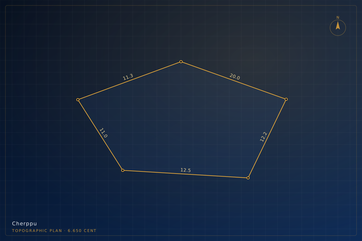
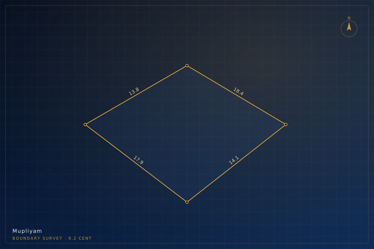
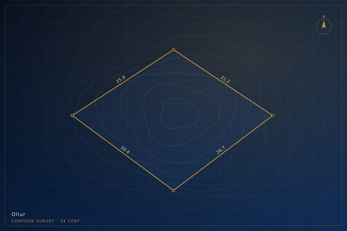
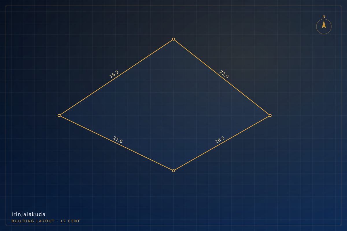
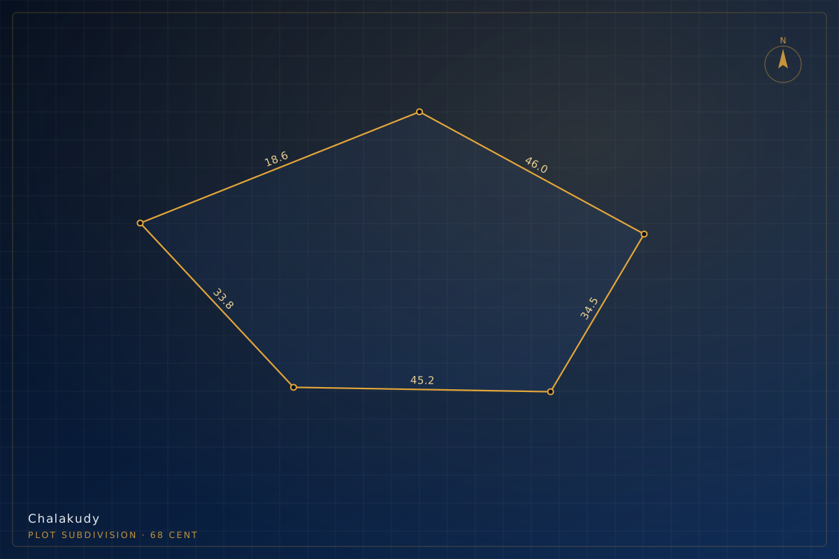
Entries marked Illustrative represent the type of work we do and are not documented client jobs.
In their words
What clients notice
The same themes come up: the number was right, the drawing was clear, and the team turned up when they said they would.
They measured the plot before we paid the advance. The actual area was different from what the seller told us, and having it in writing changed the whole negotiation.
The layout was marked on the morning they promised. Column centres were exact — our mason had nothing to correct before the footing work started.
We received a clean DWG with levels already in place. I could start designing the same day instead of guessing the slope from photographs.
The contour drawing showed us the site fell almost two metres across its width. It completely changed our foundation budget — better to know early.
Reviews shown are illustrative of common client feedback and are attributed by role, not by name. They will be replaced with verified reviews.
Questions
Answers before you call
The things clients ask most — about price, timing and what actually lands in your hands.
Start here
Tell us about the land.
We’ll tell you the number.
Send us the location and roughly how much land is involved. You will get a clear scope and a fixed price — before any work starts.
- Office
- Opp. Village Office, St. Antony's Building, Mupliyam, Thrissur – 680312, Kerala
- Hours
- Monday – Saturday · 9:00 AM – 6:30 PMSunday · Site visits by appointment